Lighthouse · Solomons, Maryland
Drum Point Lighthouse
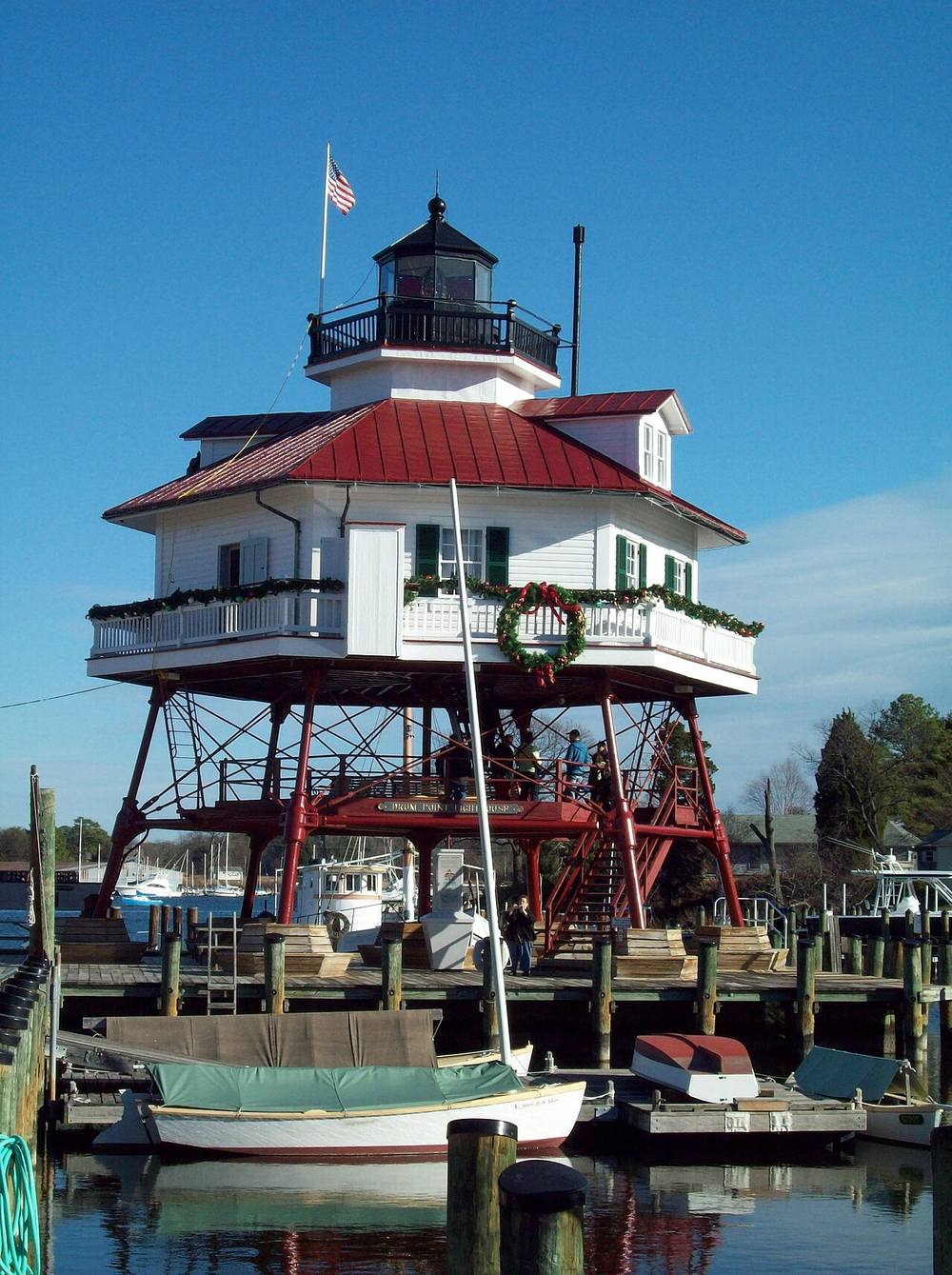
The tower was first lit in 1883 and no longer serves as a light for ships. It is listed on the National Register of Historic Places. A screw-pile cottage that marked the mouth of the Patuxent from 1883 to 1962, it was moved in 1975 to the Calvert Marine Museum in Solomons, where visitors can go inside.
Open in the viewer from Black Walnut Point, Tilghman Island →
Quick facts
| Type | Lighthouse |
|---|---|
| Built | 1883 |
| Position | 38.3312°N, 76.4633°W |
| From Black Walnut Point, Tilghman Island | 39 km (24 mi), bearing 196° SSW |
| Source | OpenStreetMap; National Register 73000910 |
How to see it
Above water but beyond the horizon from Black Walnut Point, Tilghman Island, 39 km (24 mi) away: the curve of the earth hides it. CoastFinder draws it faintly and marks it hidden, with its bearing and distance.
On the website for now. Maryland's lighthouses are in the web viewer first, and they are coming to the CoastFinder app, which covers the North Carolina coast today. Follow @coastfinderapp to hear when Maryland arrives.
Nearby
- Cove Point LighthouseLighthouse · 9.4 km
- Hooper Island LighthouseLighthouse · 20 km
- Piney Point LighthouseLighthouse · 23 km
- Point No Point LighthouseLighthouse · 27 km
- Point Lookout LighthouseLighthouse · 35 km
- Sharps Island LighthouseLighthouse · 35 km
Not for navigation. Positions and depths come from public charts and records, with their sources named above; they are for looking, not for piloting a boat.