Island · Washington Island, Wisconsin
Detroit Island
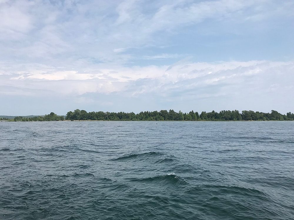
Detroit Island is a mid-sized island, about 1.9 km across. Charted on NOAA ENC US4WI1LS.
Open in the viewer from Northport Pier, Washington Island ferry →
Quick facts
| Type | Island |
|---|---|
| Position | 45.3203°N, 86.9145°W |
| From Northport Pier, Washington Island ferry | 5.8 km (3.6 mi), bearing 56° NE |
| Source | NOAA ENC US4WI1LS |
How to see it
Above water and inside the horizon from Northport Pier, Washington Island ferry, 5.8 km (3.6 mi) away, so on a clear day it can be seen from there, and CoastFinder puts a label on it.
Further reading: Detroit Island on Wikipedia.
On the website for now. This island is in the web viewer first. The CoastFinder app covers the North Carolina coast today; follow @coastfinderapp to hear when more coasts arrive.
Nearby
- Middle ShoalShoal · 0.9 m · 1.7 km
- Grape ShotShipwreck · 2.4 m · 3.0 km
- Plum IslandIsland · 3.3 km
- Plum Island Range Rear LightLighthouse · 3.7 km
- Pilot IslandIsland · 4.0 km
- Pilot Island LighthouseLighthouse · 4.0 km
Not for navigation. Positions and depths come from public charts and records, with their sources named above; they are for looking, not for piloting a boat.