Lighthouse · Narragansett Bay, Rhode Island
Bristol Ferry Lighthouse
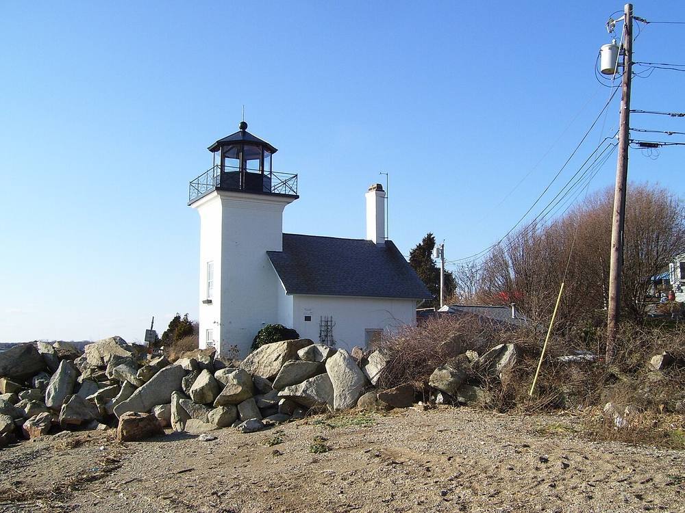
The tower no longer serves as a light for ships. It is listed on the National Register of Historic Places. It is privately owned; see it from the water.
Open in the viewer from Beavertail Lighthouse, Jamestown →
Quick facts
| Type | Lighthouse |
|---|---|
| Position | 41.6429°N, 71.2602°W |
| From Beavertail Lighthouse, Jamestown | 24 km (15 mi), bearing 28° NNE |
| Source | National Register 87001696; OpenStreetMap |
How to see it
Above water and inside the horizon from Beavertail Lighthouse, Jamestown, 24 km (15 mi) away, so on a clear day it can be seen from there, and CoastFinder puts a label on it.
On the website for now. Rhode Island's lighthouses are in the web viewer first, and they are coming to the CoastFinder app, which covers the North Carolina coast today. Follow @coastfinderapp to hear when Rhode Island arrives.
Nearby
- Hog Island Shoal LighthouseLighthouse · 1.6 km
- Prudence Island LighthouseLighthouse · 5.5 km
- Warwick LighthouseLighthouse · 15.5 m · 10 km
- Conimicut LighthouseLighthouse · 18.3 m · 11 km
- Nayatt Point LighthouseLighthouse · 11 km
- Conanicut Island LighthouseLighthouse · 12 km
Not for navigation. Positions and depths come from public charts and records, with their sources named above; they are for looking, not for piloting a boat.