Island · Hatteras Island, North Carolina
Hatteras Island
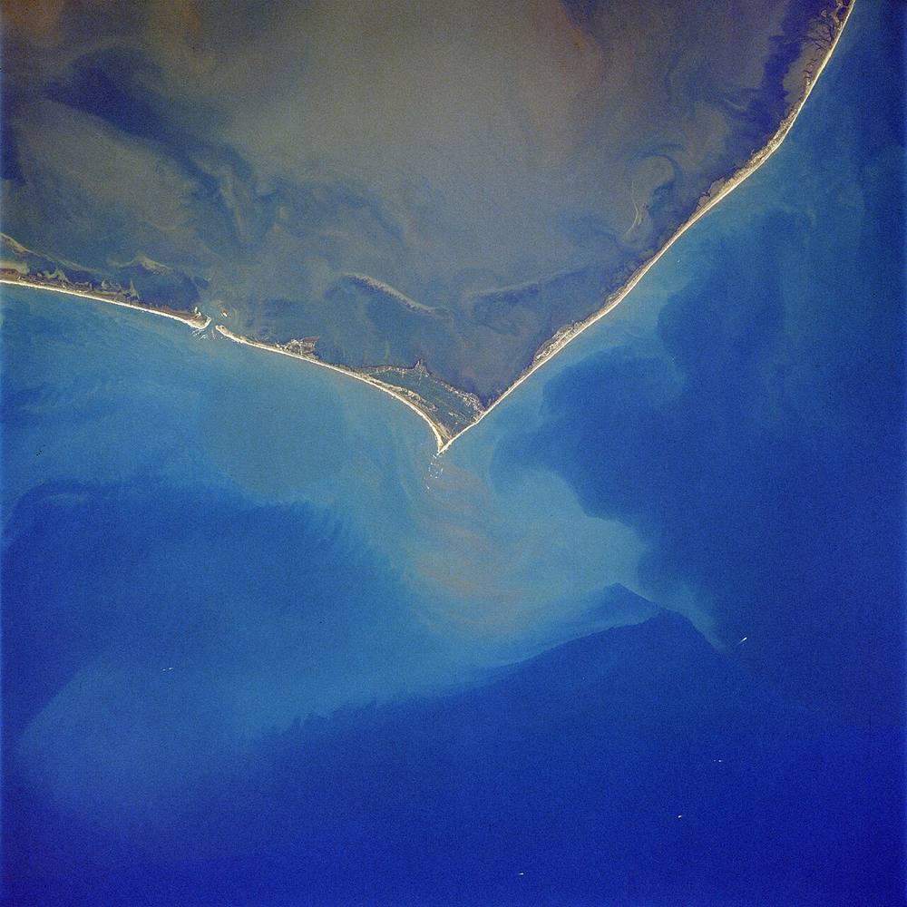
The 50-mile barrier island from Oregon Inlet to Hatteras Inlet, bending sharply at Cape Point where Diamond Shoals reach out to sea. Its seven villages, Cape Hatteras National Seashore and the lighthouse sit on a strip of sand often less than a mile wide that Highway 12 struggles to keep open after storms.
Open in the viewer from Cape Hatteras Lighthouse beach →
Quick facts
| Type | Island |
|---|---|
| Position | 35.4442°N, 75.4878°W |
| From Cape Hatteras Lighthouse beach | 22 km (14 mi), bearing 10° N |
| Source | OpenStreetMap; Curated (NOAA AWOIS / NC DMF / NPS) |
How to see it
Above water but beyond the horizon from Cape Hatteras Lighthouse beach, 22 km (14 mi) away: the curve of the earth hides it. CoastFinder draws it faintly and marks it hidden, with its bearing and distance.
Further reading: Hatteras Island on Wikipedia.
Point your phone at the real thing. The CoastFinder app draws this island over your live camera view from any beach, pier or boat near Hatteras Island, with its distance and height, and it works with no signal.
Nearby
- G.A. KohlerShipwreck · 0 m · 3.0 km
- LouiseShipwreck · 8.2 m · 6.3 km
- Avon Fishing PierPier · 11 km
- CiltvairaShipwreck · 21.9 m · 13 km
- City of AtlantaShipwreck · 16.4 m · 15 km
- Wimble ShoalsShoal · 5 m · 15 km
Not for navigation. Positions and depths come from public charts and records, with their sources named above; they are for looking, not for piloting a boat.