Lighthouse · Currituck Beach, North Carolina
Roanoke River Light
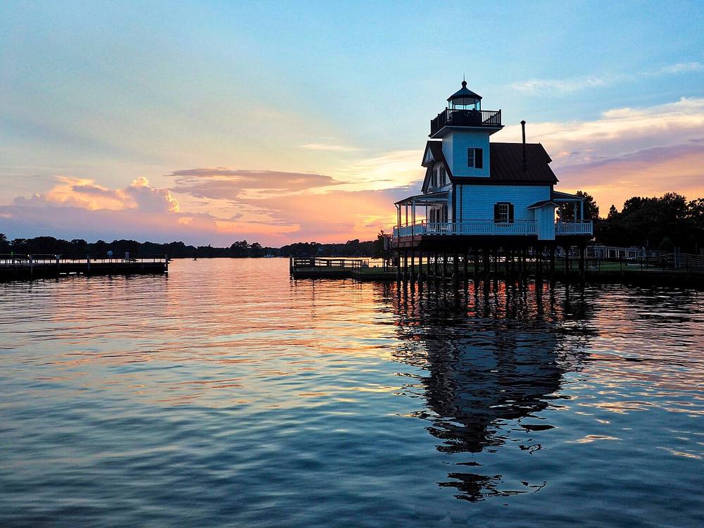
Lighthouse. Mapped in OpenStreetMap.
Open in the viewer from Currituck Beach →
Quick facts
| Type | Lighthouse |
|---|---|
| Position | 36.0561°N, 76.6109°W |
| From Currituck Beach | 79 km (49 mi), bearing 243° WSW |
| Source | OpenStreetMap |
How to see it
Above water but beyond the horizon from Currituck Beach, 79 km (49 mi) away: the curve of the earth hides it. CoastFinder draws it faintly and marks it hidden, with its bearing and distance.
Further reading: Roanoke River Light on Wikipedia.
Point your phone at the real thing. The CoastFinder app draws this lighthouse over your live camera view from any beach, pier or boat near Currituck Beach, with its distance and height, and it works with no signal.
Nearby
- Black Walnut Point Reef *No Material on this reef site (AR-191)Reef · 2.4 m · 8.0 km
- Black RockReef · 4.5 m · 9.7 km
- WinthropShipwreck · 1.5 m · 14 km
- Huff IslandIsland · 23 km
- Roanoke River LighthouseLighthouse · 25 km
- Shipyard BarShoal · 1.5 m · 48 km
Not for navigation. Positions and depths come from public charts and records, with their sources named above; they are for looking, not for piloting a boat.