Lighthouse · Mount Desert, Maine
Bass Harbor Head Lighthouse
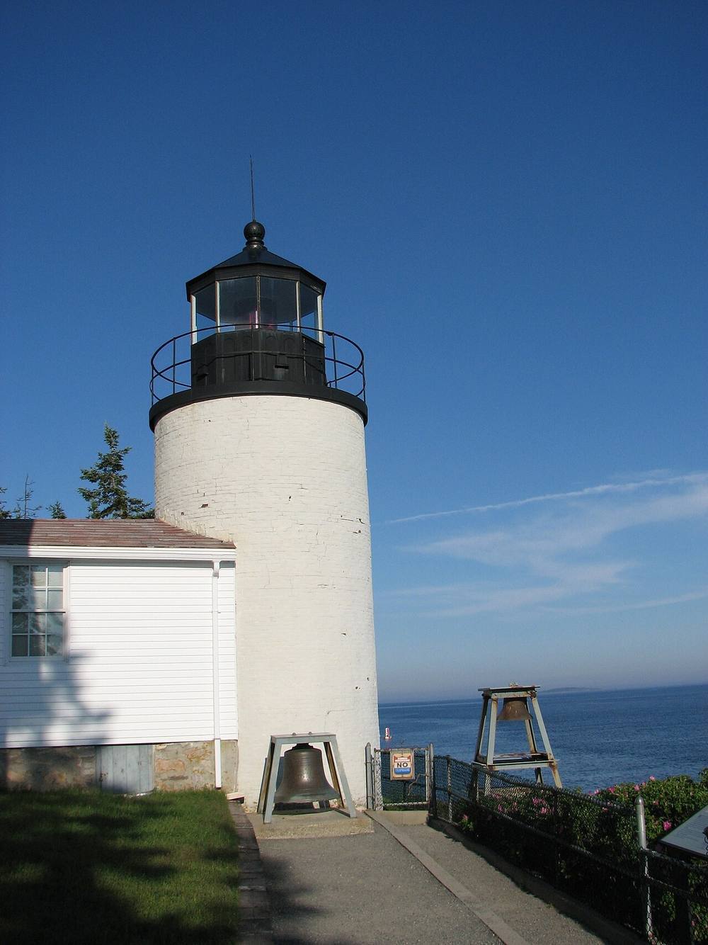
The tower is still an aid to navigation. Its light shows a red light that goes dark briefly every 4 seconds, seen up to 13 nautical miles out. It is listed on the National Register of Historic Places.
Open in the viewer from Prospect Harbor Point →
Quick facts
| Type | Lighthouse |
|---|---|
| Light | Oc R 4s |
| Position | 44.2219°N, 68.3373°W |
| From Prospect Harbor Point | 33 km (20 mi), bearing 232° SW |
| Source | NOAA ENC; USCG Light List Vol. I 2335; National Register 87002273 |
How to see it
Above water but beyond the horizon from Prospect Harbor Point, 33 km (20 mi) away: the curve of the earth hides it. CoastFinder draws it faintly and marks it hidden, with its bearing and distance.
On the website for now. Maine's lighthouses are in the web viewer first, and they are coming to the CoastFinder app, which covers the North Carolina coast today. Follow @coastfinderapp to hear when Maine arrives.
Nearby
- Bear Island LighthouseLighthouse · 8.7 km
- Baker Island LighthouseLighthouse · more than 11.3 m · 11 km
- Great Duck Island LighthouseLighthouse · more than 10.8 m · 11 km
- Burnt Coat Harbor LighthouseLighthouse · more than 9.8 m · 13 km
- Blue Hill Bay LighthouseLighthouse · 13 km
- Egg Rock LighthouseLighthouse · 22 km
Not for navigation. Positions and depths come from public charts and records, with their sources named above; they are for looking, not for piloting a boat.