Lighthouse · Molokaʻi, Hawaiʻi
Molokaʻi Lighthouse
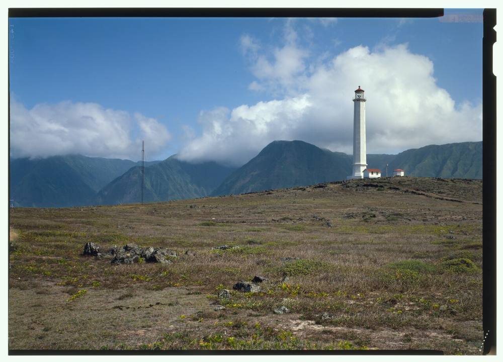
The tower was first lit in 1909 and is still an aid to navigation. Its light shows one white flash every 10 seconds, seen up to 13 nautical miles out. It is listed on the National Register of Historic Places. The tallest lighthouse in Hawaiʻi, it stands on the Kalaupapa Peninsula inside Kalaupapa National Historical Park; the peninsula needs a state permit and no tours are running at present.
Open in the viewer from Kalaupapa Overlook, Pālāʻau State Park →
Quick facts
| Type | Lighthouse |
|---|---|
| Built | 1909 |
| Light | Fl W 10s |
| Position | 21.2095°N, 156.9697°W |
| From Kalaupapa Overlook, Pālāʻau State Park | 4.1 km (2.6 mi), bearing 23° NNE |
| Source | USCG Light List Vol. VI 28575; NOAA ENC; National Register 82001724 |
How to see it
Above water and inside the horizon from Kalaupapa Overlook, Pālāʻau State Park, 4.1 km (2.6 mi) away, so on a clear day it can be seen from there, and CoastFinder puts a label on it.
On the website for now. Hawaiʻi's lighthouses are in the web viewer first, and they are coming to the CoastFinder app, which covers the North Carolina coast today. Follow @coastfinderapp to hear when Hawaiʻi arrives.
Nearby
- Lāhainā LighthouseLighthouse · 48 km
- McGregor Point LighthouseLighthouse · 67 km
- Makapuʻu Point LighthouseLighthouse · 71 km
- Diamond Head LighthouseLighthouse · 87 km
- Aloha TowerLighthouse · 94 km
- USS ArizonaShipwreck · 103 km
Not for navigation. Positions and depths come from public charts and records, with their sources named above; they are for looking, not for piloting a boat.