Press
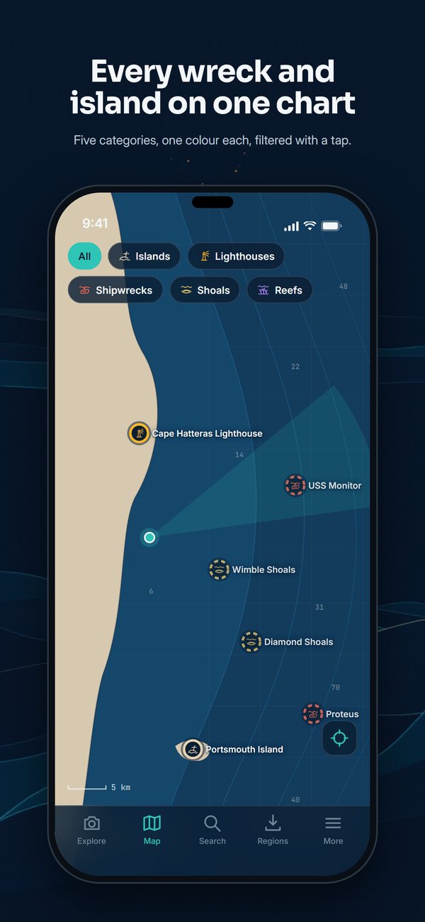
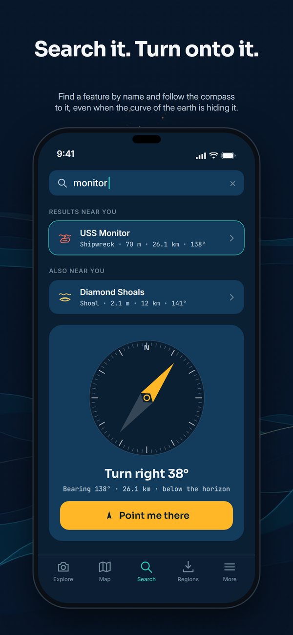
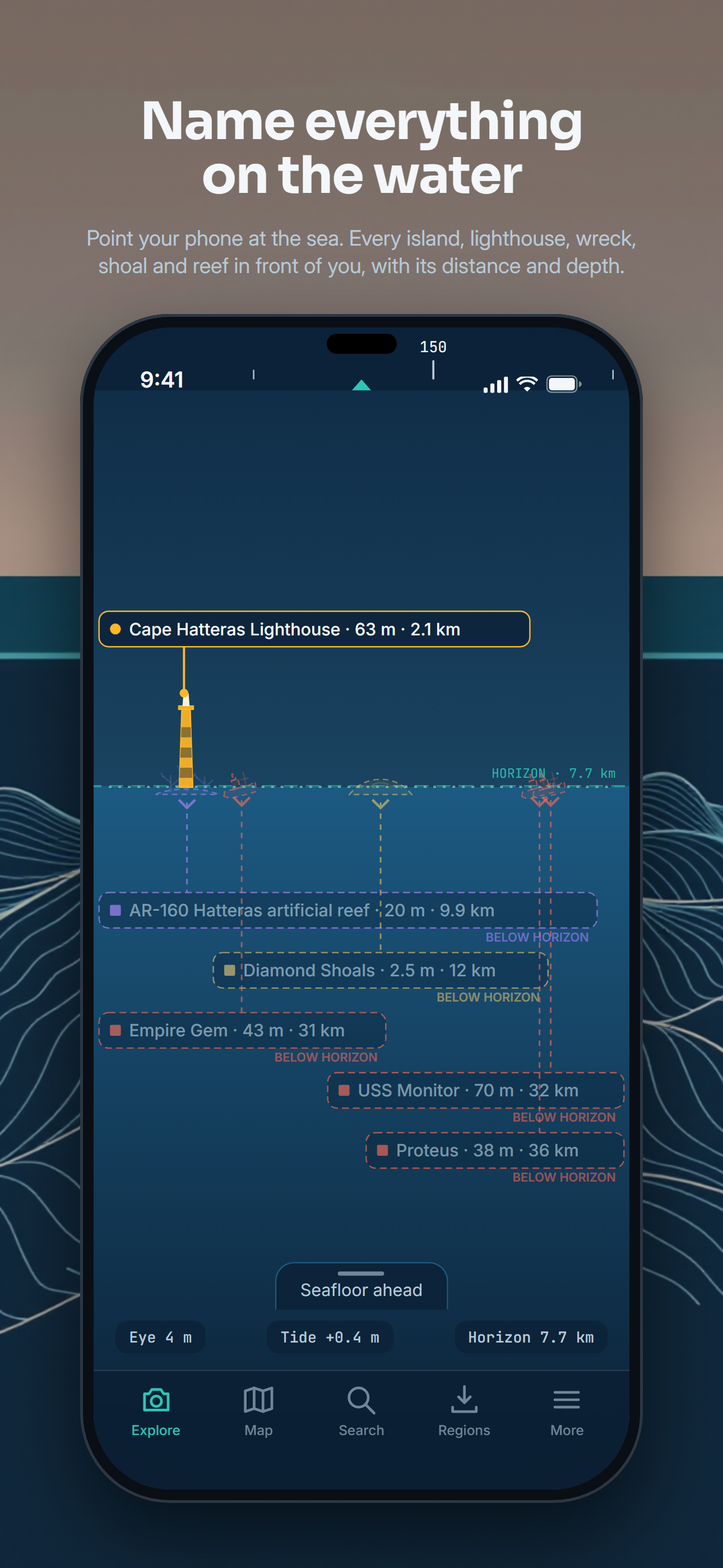
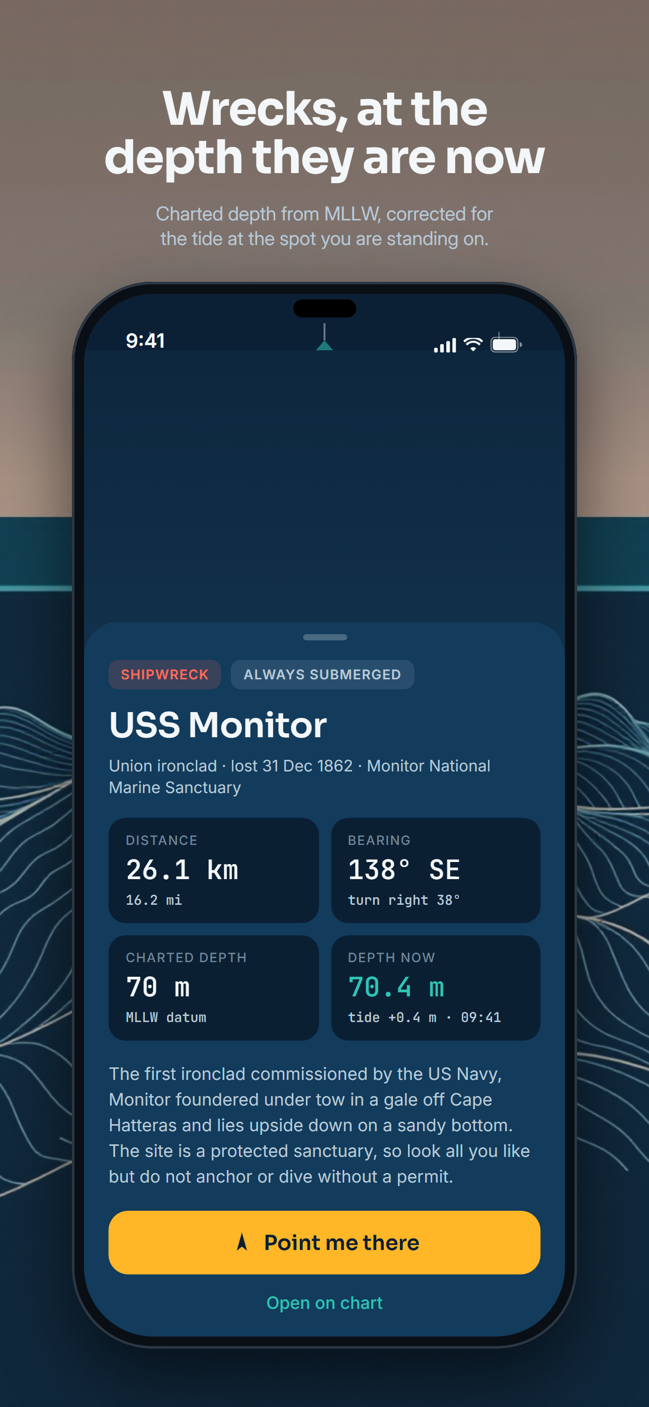
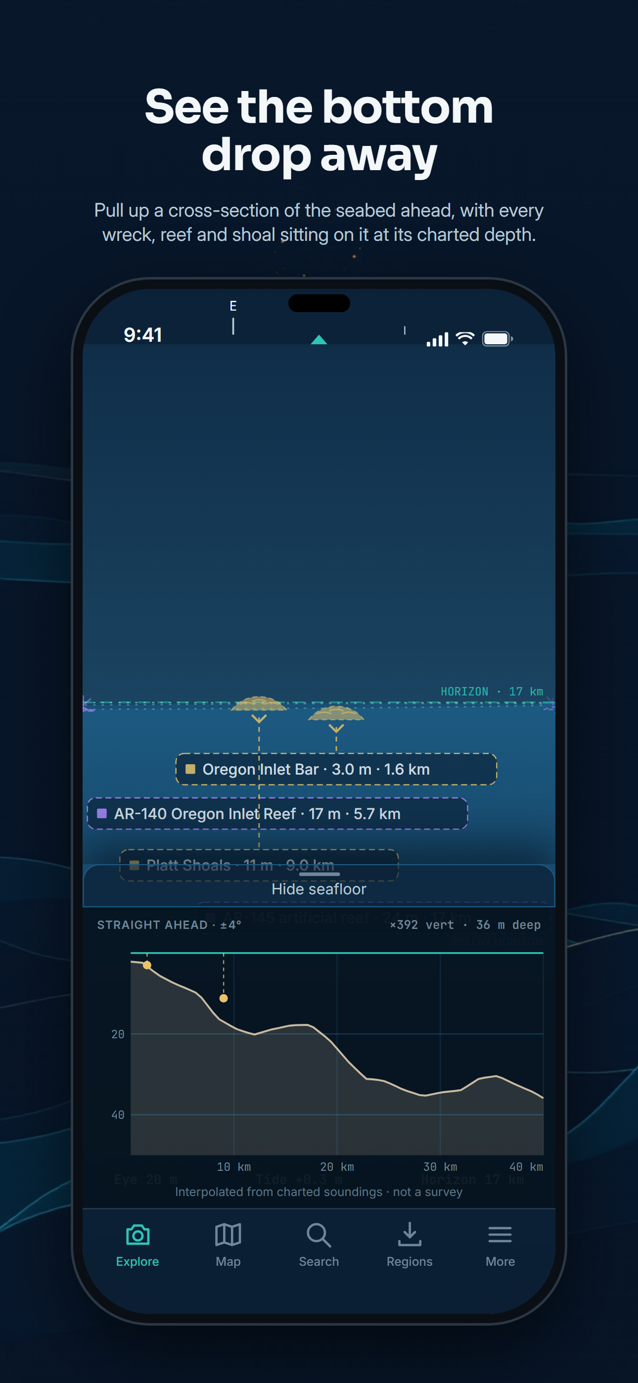
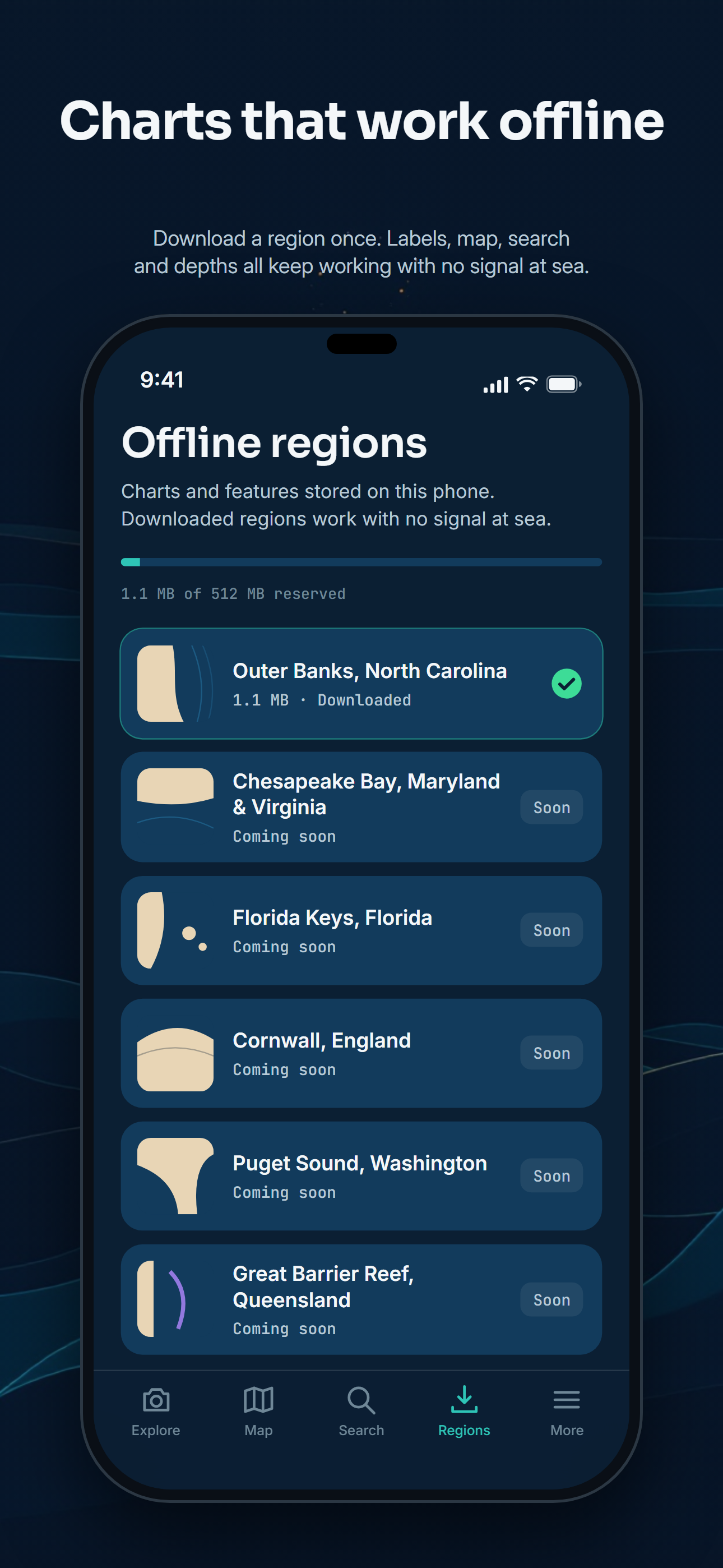
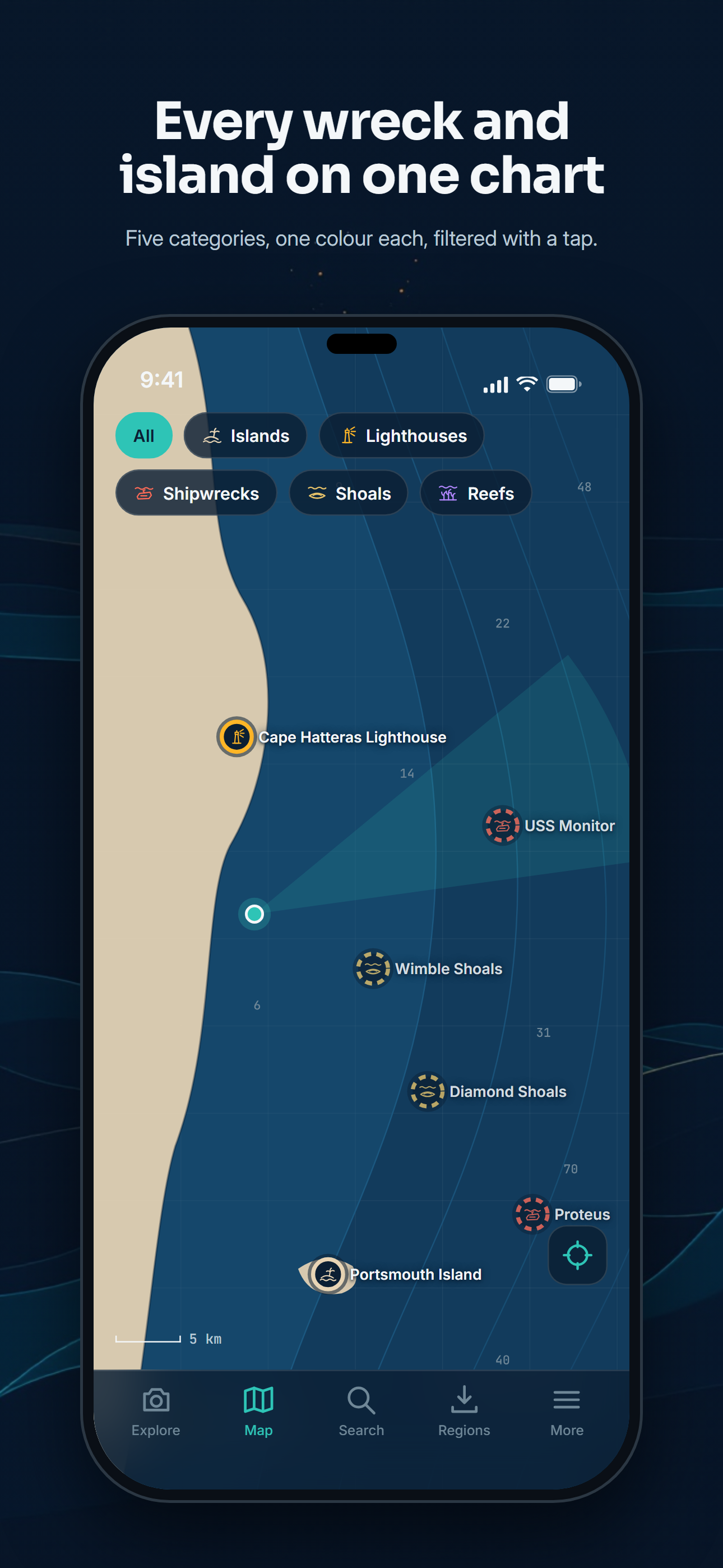
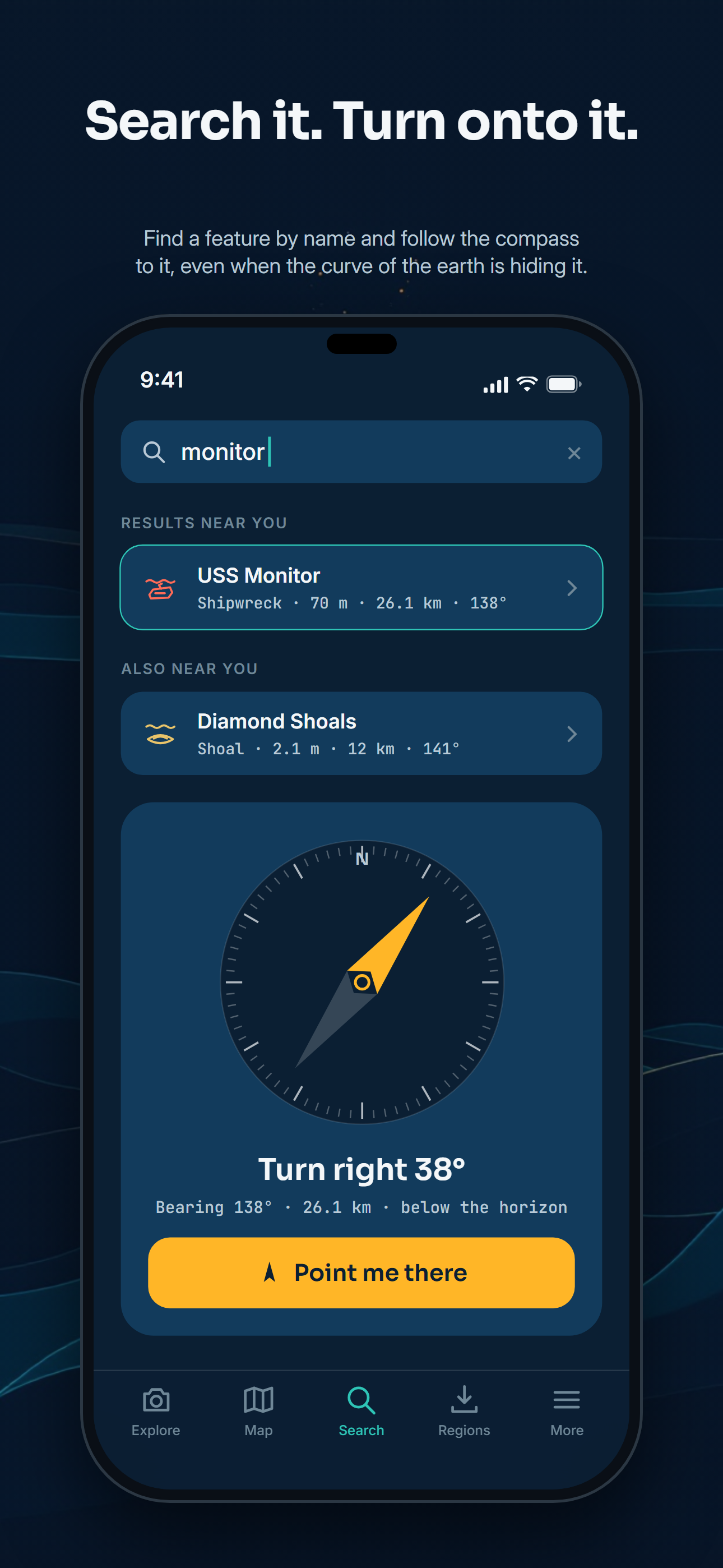
Screenshots, the icon and the wordmark may be used in articles and reviews about CoastFinder, credited "© CoastFinder".
Screenshots
iPhone 6.9-inch, 1290 × 2796 PNG.
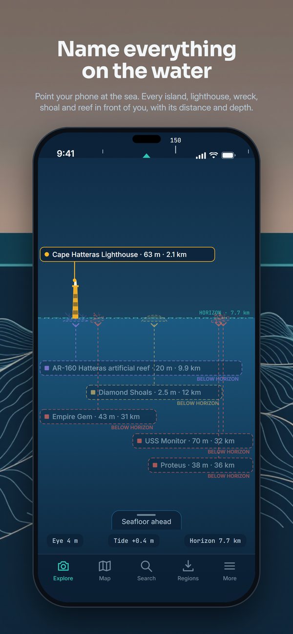
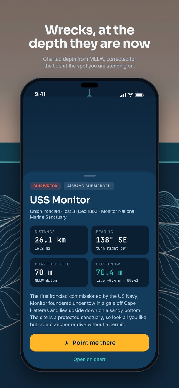
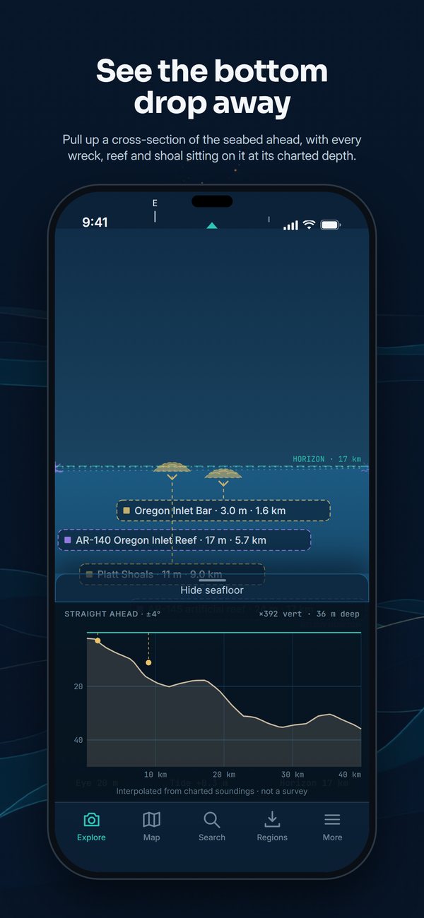
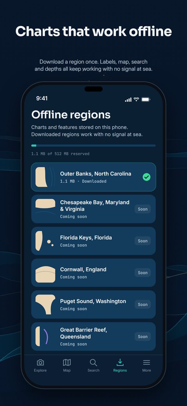
Icon and wordmark
 Icon, SVG · Icon, PNG 1024 px

 Single-color mark, SVG
 Wordmark, SVG · Wordmark, PNG

 Wordmark for light backgrounds, SVG
Fact sheet
| Name | CoastFinder |
|---|---|
| What it does | Names every island, lighthouse, shipwreck, shoal and reef in front of you over the live camera, with distance and depth. |
| Price | $6.99, one-time; regions added later are included. No subscription, no in-app purchase, no advertising. |
| Platforms | iPhone. Android coming later. |
| App Store | CoastFinder on the App Store (US and Canada) |
| Coverage at launch | The whole North Carolina coast and the Grand Strand: Outer Banks & Crystal Coast; Cape Fear & Grand Strand |
| Contact | support@coastfinder.app |
| @coastfinderapp |